
Proposed Wirrabara Greenway
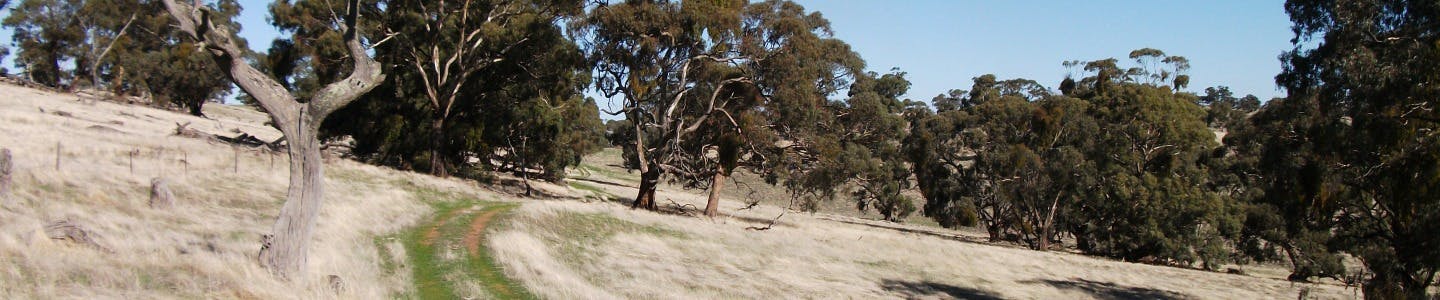
The Wirrabara Forest Reserve was established in 1877 and was one of the state’s first forest reserves. It is located in the Southern Flinders Ranges approximately 8km west of the township of Wirrabara and covers an area of 7,000 hectares including 4,150 hectares of native vegetation which is protected for conservation. The Wirrabara Forest Reserve was modelled as a community forest. It was historically managed for sustainable commercial forestry, while providing for the conservation of native flora and fauna and community use for recreation.
The Heysen and Mawson Trails both pass through parts of the forest. The Heysen Trail is managed by DEWNR with support from the Friends of the Heysen and Other Walking Trails and the Mawson Trail managed by DPTI/Office for Recreation and Sport.
Proposed Wirrabara Forest Greenway:
Located in the Wirrabara Forest, Hundred of Darling, South Australia, the proposed greenway comprises two portions as described below:
PORTION A: Commencing at the Ippinitchie Campground, Wirrabara, thence generally in a south westerly direction north of and parallel to Forest Road, Wirrabara to the vicinity of the Wirrabara Picnic Ground, thence general westerly along the alignment of Ippinitchie Creek to the vicinity of the Wirrabara Forest Nursery, thence northerly and westerly to the north western corner of Section 54, Hundred of Darling.
PORTION B: Commencing at White Park Hut, White Park Road, Wirrabara thence generally in north westerly direction south of and parallel to White Park Road, then, south westerly and southerly along existing forest tracks to the southern boundary of Section 39 Hundred of Darling, then easterly to Block 9 Road and then generally southerly along the western boundary of Section 9 Hundred of Darling to the point where Section 9 Hundred of Darling directly abuts Section 10 Hundred of Darling.
Uses: The intended public use of the proposed Wirrabara Forest Greenway portions A & B above will be limited to recreational walking only.
Maps: Click here to see maps describing the proclaimed Greenways routes.
Proposed Wirrabara Greenway
The current alignment of the Mawson Trail follows roads which are external to the forest and therefore no action is required to ensure their protection.
Heysen Trail
PORTION A
It is proposed that a Greenway be established over the section of the Forest Circuit trail, between the Wirrabara Range through to the Old Wirrabara Nursery and to the Ippinitchie Campground and that it be remarked as a Heysen Trail alternative route to secure access for trail users from the main trail to the Ippinitchie Campground.
PORTION B
A Greenway is required over the current route of the Heysen Trail in the northern part of the forest between Rocky Ridge Track and White Park Road as this section of trail is located in general forestry plantation areas and may not be retained in Government ownership.
Consultation has concluded

